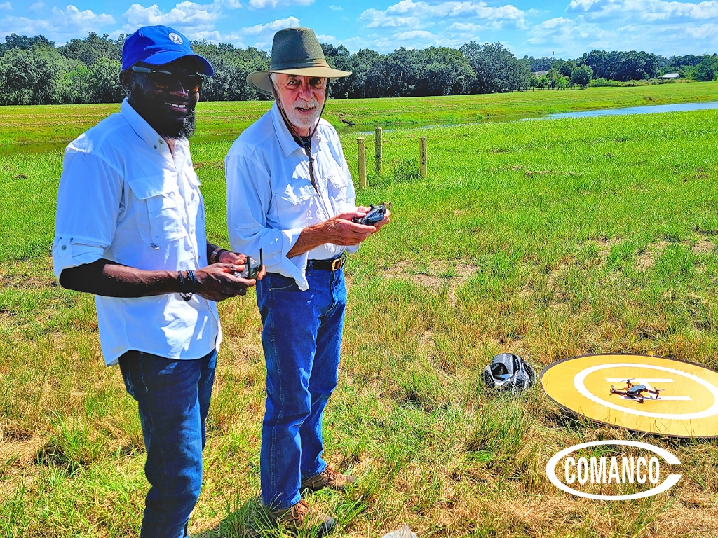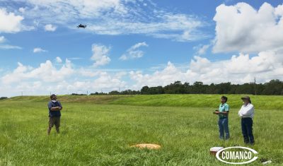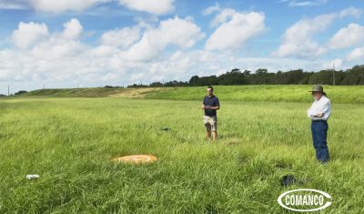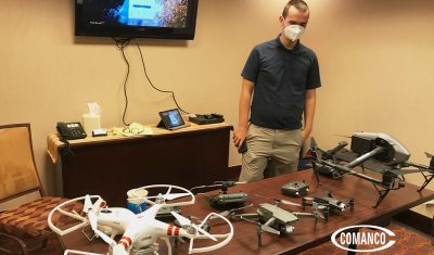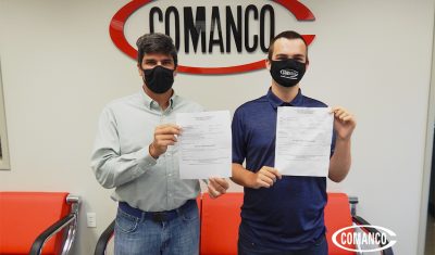
COMANCO QA/QC’s Receive Drone Pilot Certification
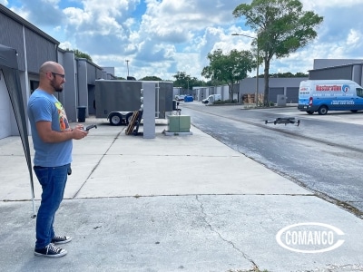
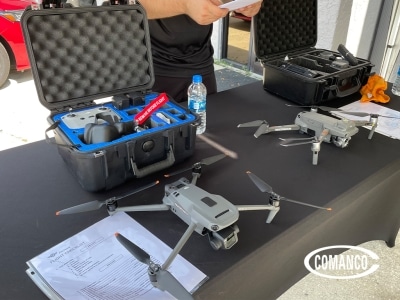
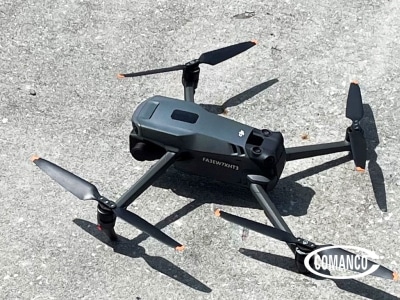
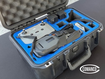
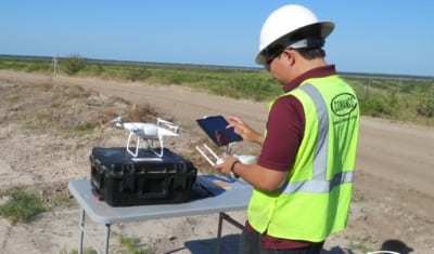
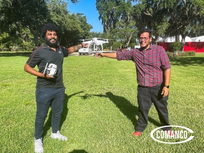
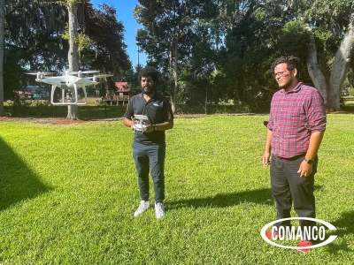
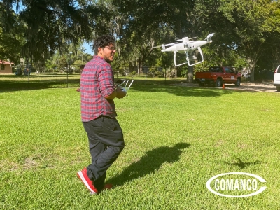
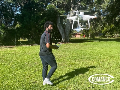
COMANCO QA/QC’s Receive Drone Pilot Certification For the QA/QC Department, innovation is vital to staying ahead in an ever-evolving industry landscape. Two dedicated QA/QC Engineers completed hands-on training sessions with FOWADO to prepare for the FAA Part 107 Exam, learning …