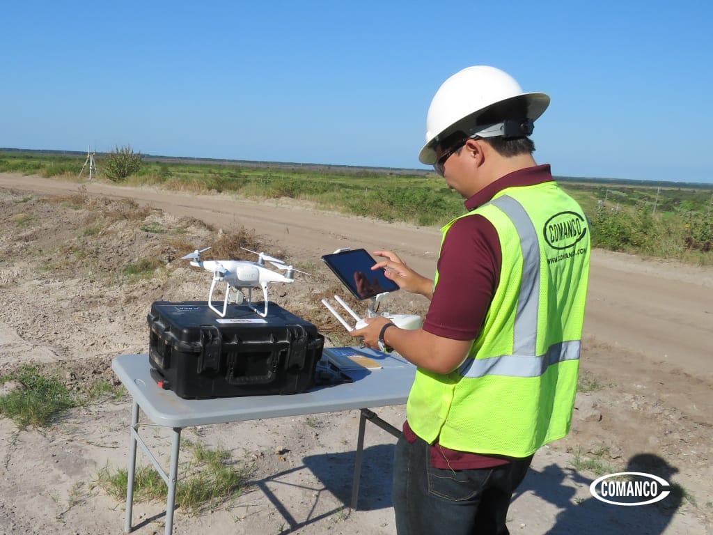
COMANCO is a Part 107 compliant drone service provider. We are fully insured for providing aerial and topographic mapping services using unmanned aerial systems (UAS).
With a firm understanding that the field of construction is ever-developing, safety, reliability, and efficiency are paramount. Utilizing drone services allows owners, engineers, and contractors the ability to quickly understand large scale topographies as well as project progress at a more affordable cost.
COMANCO’s fleet of licensed drone operators can safely provide millions of precise data points which may be used for a wide range of applications. The longstanding on-center approach of old produces, limited data sets, takes exponentially longer to collect, and requires a heightened level of risk due to labor-intensive means and methods. Consistency is another aspect of surveying that goes under-appreciated. Identical flight plans/missions done over a monthly, quarterly, and yearly period will guarantee you are comparing ‘apples to apples’ every time.
Applications:
- Aerial mapping, 3D mapping
- Existing topography for design considerations
- Takeoff quantity calculations
- pre-construction surveys – Bid vs. Actual before breaking ground
- Airspace
- Settlement
- Progress updates – monthly billing, quantity disputes
- Progress photography
Contact us today for more information.
COMANCO is an environmental, commercial, and civil construction company specializing in the construction of containment facilities and the nation’s leading service provider to the geosynthetics marketplace.
SAFETY ★ QUALITY ★ SERVICE