Drone Surveying Services
Improve Quality Control with Topographic Surveying
Topographic Surveying Applications:
- Real time existing conditions
- Pre-bid quantity verifications
- Pre-construction quantity verifications
- Project progress
- Airspace takeoffs
- Stockpile takeoffs
Project Highlight: Municipal Landfill Airspace Calculation
On this project, COMANCO conducted a topographic survey of an active landfill cell. COMANCO is contracted on a quarterly basis to determine airspace calculations for our clients by combining the survey with an airspace permit design. Using our technology eliminates any hazards of traveling directly within the cell, which is an advantage that allows for unhindered, regular use of the facility during surveying.
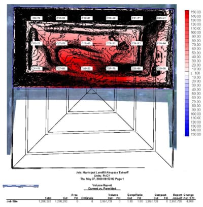
In this particular example, a volume report was produced, taking into consideration the continuance of slope requirements and future valley fill options, and delivered to our client within 48 hours. Quick and accurate airspace calculations are essential to our municipal waste clients and are a benefit of partnering with COMANCO.
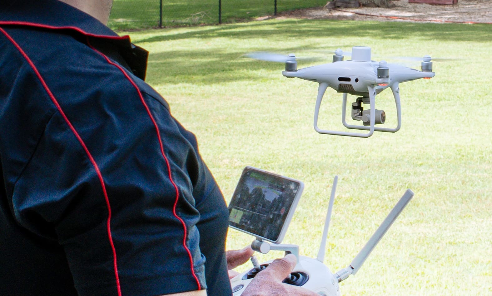
ACHIEVING ACCURACY
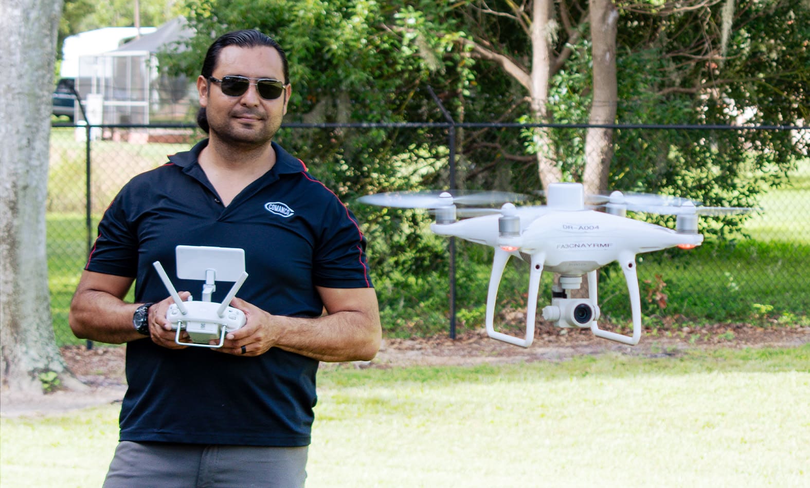
Our fully licensed (14 CFR part 107) operators utilize Photogrammetry Method with Ground Control Points that generate 500,000 – 10,000,000 shots for a given survey area. Additional check points are shot to verify the elevation is within a 2-3cm of base surveying results.
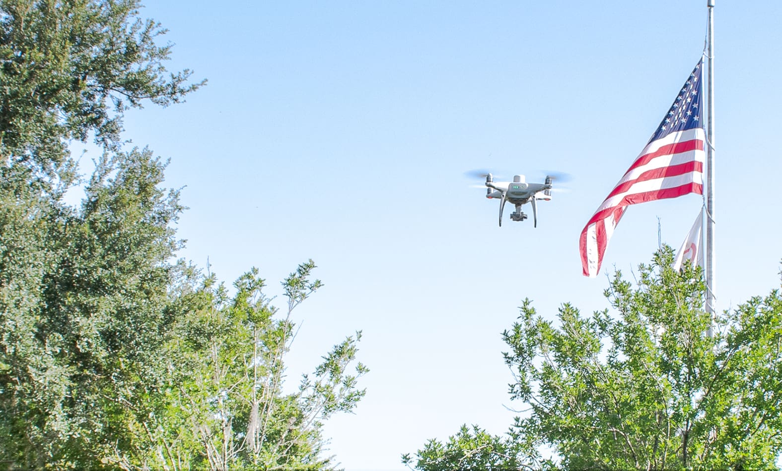
ENSURING SAFETY
Safety is one of the top priorities here at COMANCO. Unlike rover surveying, drone and boat technology limits exposure to potentially hazardous conditions, such as slopes, intense heat, contaminated water, and more.
Maintaining Quality
Here at COMANCO, our efficiency does not minimize the quality of our work. Not only will your company see a 24-48 hour turn around of data, but regular updates are available to measure project progress. Our technology not only offers these updates in essential data, but also aerial photographs, 4K video, and 3D modeling.
